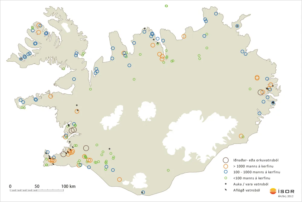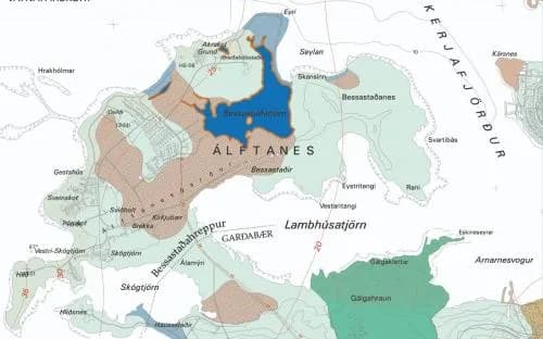

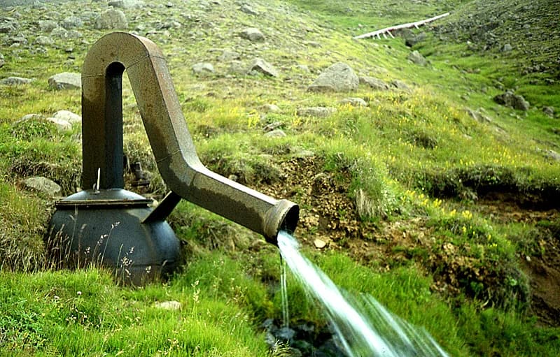
ÍSOR maps hydrology, groundwater systems and groundwater flow, defining how surface water, groundwater and geological formations interact. Hydrological maps are used in spatial planning, environmental assessment, programme preparation and a variety of construction work. ÍSOR also assesses the capacity of boreholes and water sources and carries out chemical analysis of drinking water and other fresh water. ÍSOR further has experience of other kinds of water supply, among them industrial water, firefighting water, warm water and geothermal seawater.
ÍSOR's groundwater services
- Advice on water supply and water sources
- Design and siting of boreholes and wells
- Drinking-water quality
- Tracer tests
- Numerical models
- Utilisation and pollution monitoring
- Advice on water protection